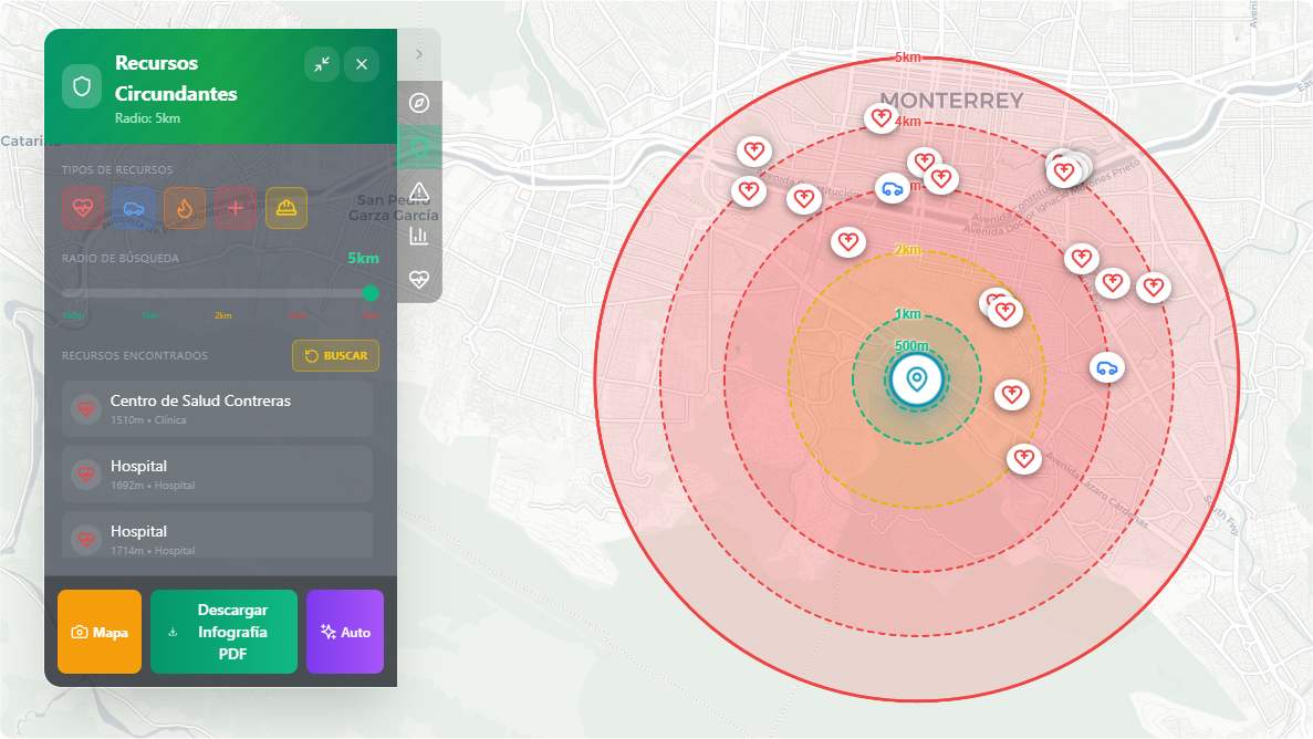
A strategic tool designed to measure crisis response capacity and business continuity. It allows tracing customizable concentric distance rings from the site’s epicenter (with ranges from 500 meters to 4 kilometers).
- External Support Geolocation: The system calculates and identifies the routes and exact location of critical support agencies, breaking down the distance to:
- Hospitals, clinics, and health centers.
- Police stations and public security quadrants.
- Fire departments.
- Red Cross relief bases.
- Civil Protection response units.
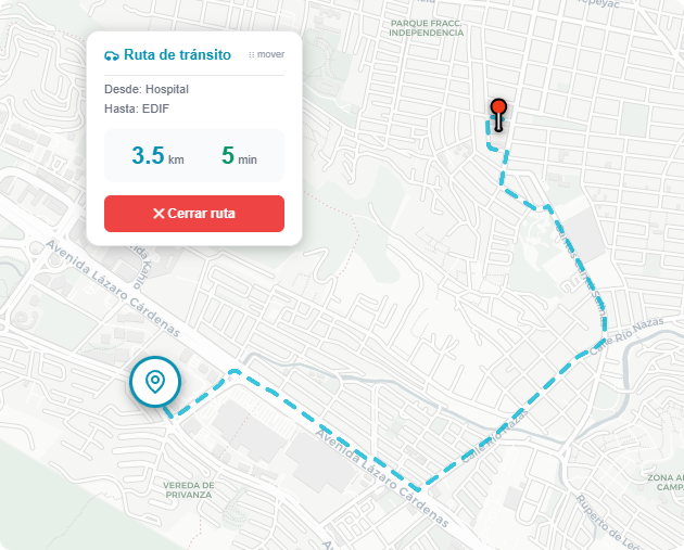
- Utility in Emergency Plans: Facilitates the estimation of real response times for serious incidents requiring the intervention of authorities or external medical services.