Tabla de contenidos
This module consolidates the history and active environmental indicators that impact the geographic region where the organization operates.
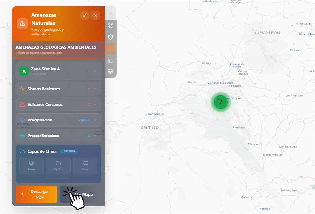
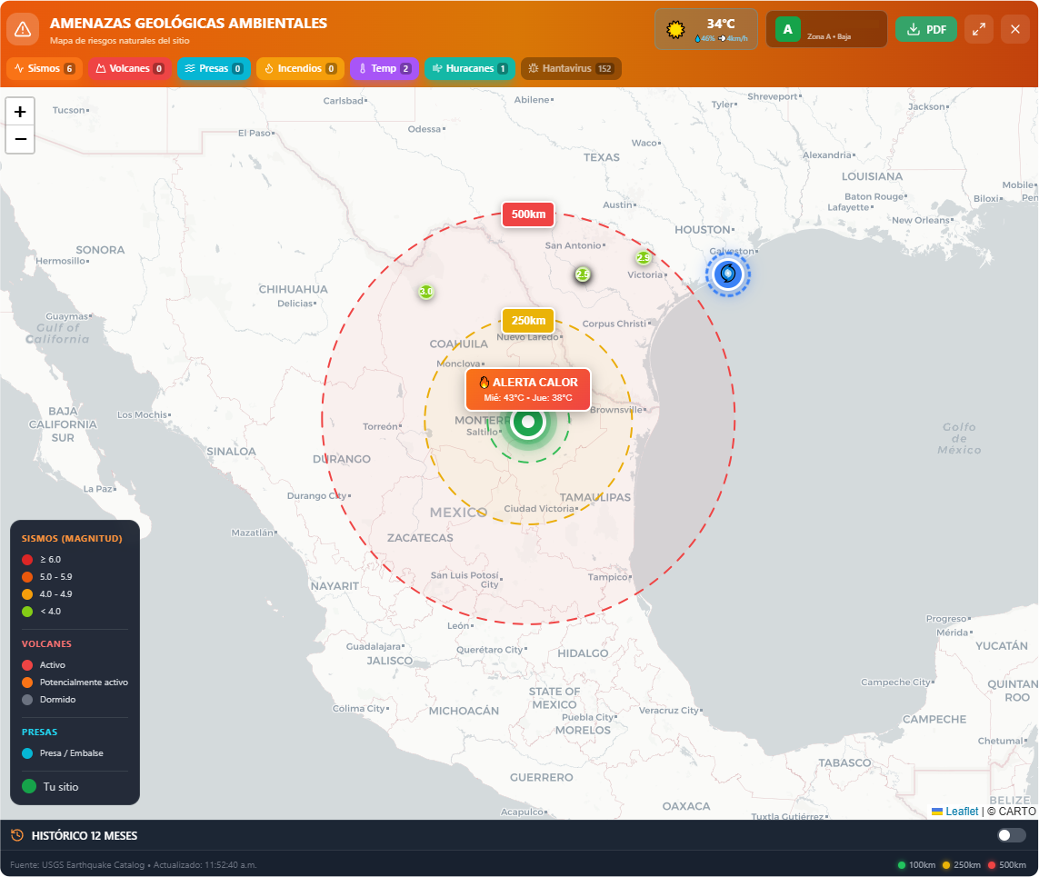
- Active Indicators: The system tracks critical variables in real time, such as recent earthquakes (detailing magnitude and depth), nearby volcano activity, hurricanes, dams or reservoirs susceptible to overflow, and active wildfires.
- Advanced Atmospheric Monitoring: Allows the overlay of real-time climate layers including accumulated rainfall precipitation radars, satellite imagery, and extreme heat alerts. Its function is to anticipate hydrometeorological events that could interrupt operations or damage physical infrastructure.
Special Layers and Biological Risk Surveillance
Within the natural analysis environment, the platform allows deploying independent specialized information windows on demand for monitoring global health variables.
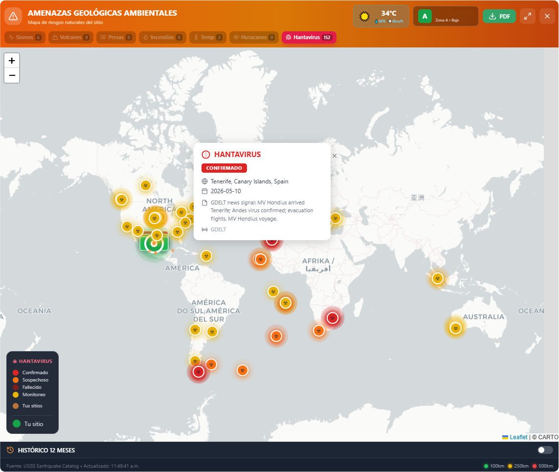
Epidemiological Monitoring: Maps the spatial distribution, outbreaks, and evolution of specific biological diseases or viruses at global and regional levels.
- Vector Control (Hantavirus Example): The system processes dedicated maps for recording cases (confirmed, suspected, and deceased) of biological threats of corporate interest such as monitoring of vector-transmitted viruses (e.g., Hantavirus), allowing security directors to issue early warnings or preventive brochures for personnel stationed in risk zones.