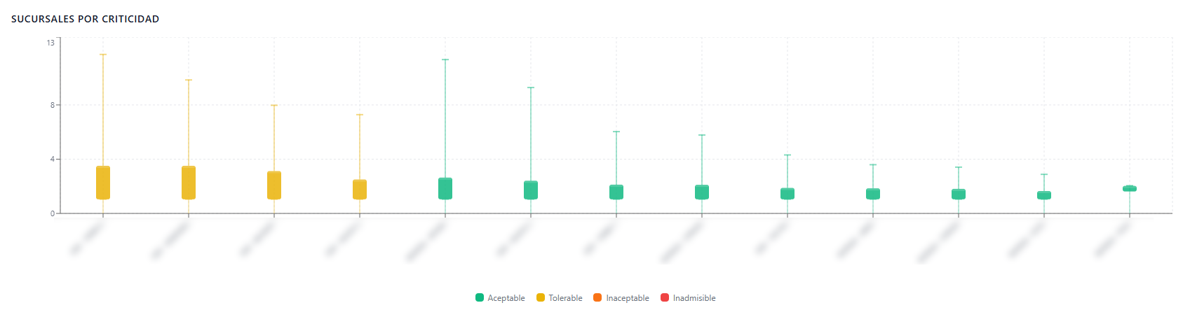
This section segments threat severity based on political-territorial division, facilitating the identification of critical regions:
-
- Criticality by State and Municipality: Analytical charts that consolidate vulnerability averages to isolate those states or local districts where the organization’s operations face greater risk environments.

-
- Branches by Criticality: Charts the criticality of sites and orders them by level, clearly showing which sites are most vulnerable.